Summer 2019
34 5 6
IDENTIFY POINTS
By identifying the points on a lake or river in my river,
I am picking out some of the best possible fish holding
locations. Points allow fish to sit in the deeper water off
the sides or tip. The top of the points are locations where
fish may hold when they are feeding or during the low light
hours.
I’ll first look for the largest or most noticeable points on
a lake or river, as they likely could hold the largest population
of fish. From there I’ll identify the smaller or secondary
points as these too can be key fish holding locations.
NOTE HAZARDS
From both a possible fishing location aspect and a boating safety standpoint, looking for any hazard buoys on a map is very important. These buoys are likely marking a shallow, rocky underwater point, rock pile, wingdam or another form of submerged structure. By knowing where these are, you’ll keep your boat out of harm’s way, but you’ll also have an easy way to identify some great fish holding structure.
CHECK FLOWS
Anytime there is some flow in a lake or river that means those areas will have fresh, oxygenated water and an influx of baitfish. Both of these items attract bass; so, I’ll look on my map for any inflows or outflows of the lake, as it is likely that bass may be congregated in these areas.
SEEK PINCH POINTS
The last thing I’ll be looking for are pinch points or areas where bass will be funneled through and more than likely be schooled up. This could be the opening to a cove or bay just off the main lake, or a chute that runs between two islands. These areas are rest stops for bass as they transition from one area of the lake or river to another, and it is likely that when they are in these pinch points they are hungry and ready to bite! •
®
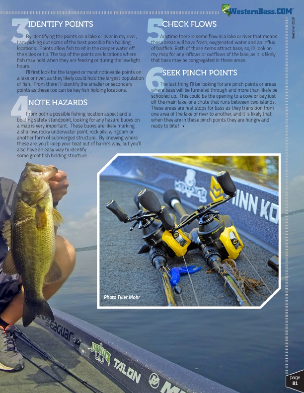
Photo Tyler Mohr
page
81