recorded low of - 3.5 Rumsey, which was recorded in 1920, and certainly a long way from the recorded high water mark of 13.66 feet Rumsey, which was recorded in 1890. Flood level today is recognized as 9 foot Rumsey, so 13.66 must have been interesting to say the least.
That brings us to lake level control today, and the Cache Creek Dam. Today the lake level is controlled most of the year with the use of Cache Creek Dam which is located approximately 3 miles below Grigsby Riffle. This Dam was the result of Yolo County acquiring the water rights to Clear Lake in 1912. It was then that Yolo County subsequently constructed Cache Creek Dam in 1914, initially to assist in increasing the water capacity of Clear Lake itself, and today to aide in metering releases, as well as its major role assisting in flood control.
Great, but how is the gauge still relative today? Well, one could write another entire article on that alone, as
Grigsby’s Riffle
20
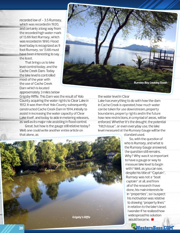
Rumsey Bay Looking South
the water level in Clear Lake has everything to do with how the dam in Cache Creek is operated, how much water can be taken for use downstream, property boundaries, property rights and in the future how new restrictions, in a myriad of areas, will be enforced. Whether it’s the drought, the potential “hitch issue”, or even everyday use, the lake level measured at the Rumsey Gauge will be the
standard used.
So, with the question of
who is Rumsey, and what is
the Rumsey Gauge answered,
the question still remains.
Why? Why was it so important
to have a gauge or way to
measure lake level to begin
with? Well, as you can see,
despite his title of “Captain”,
Rumsey was not a “boat
captain” at all, and from
all of the research I have
done, his main interests lie
in “properties”, so I suspect
his motivation was relative
to drawing “property lines”
in relation to the lake’s level.
I wonder if he realized how
widespread his solution
would become.
®