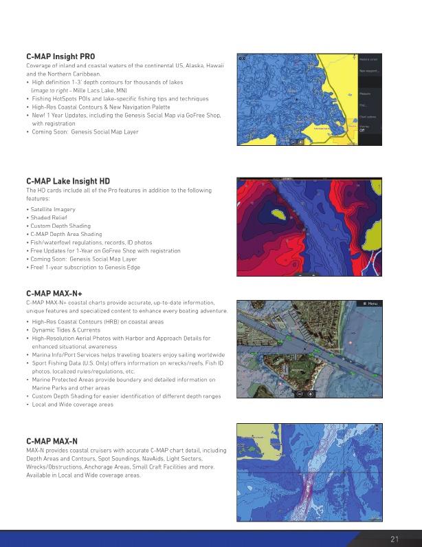
C-MAP Insight PRO
Coverage of inland and coastal waters of the continental US, Alaska, Hawaii and the Northern Caribbean. • High definition 1-3’ depth contours for thousands of lakes
( image to right - Mille Lacs Lake, MN) • Fishing HotSpots POIs and lake-specific fishing tips and techniques • High-Res Coastal Contours & New Navigation Palette • New! 1 Year Updates, including the Genesis Social Map via GoFree Shop,
with registration • Coming Soon: Genesis Social Map Layer
C-MAP Lake Insight HD
The HD cards include all of the Pro features in addition to the following features:
• Satellite Imagery • Shaded Relief • Custom Depth Shading • C-MAP Depth Area Shading • Fish/waterfowl regulations, records, ID photos • Free Updates for 1-Year on GoFree Shop with registration • Coming Soon: Genesis Social Map Layer • Free! 1-year subscription to Genesis Edge
C-MAP MAX-N+
C-MAP MAX-N+ coastal charts provide accurate, up-to-date information, unique features and specialized content to enhance every boating adventure.
• High-Res Coastal Contours (HRB) on coastal areas • Dynamic Tides & Currents • High-Resolution Aerial Photos with Harbor and Approach Details for
enhanced situational awareness • Marina Info/Port Services helps traveling boaters enjoy sailing worldwide • Sport Fishing Data (U.S. Only) offers information on wrecks/reefs, Fish ID
photos, localized rules/regulations, etc. • Marine Protected Areas provide boundary and detailed information on
Marine Parks and other areas • Custom Depth Shading for easier identification of different depth ranges • Local and Wide coverage areas
C-MAP MAX-N
MAX-N provides coastal cruisers with accurate C-MAP chart detail, including Depth Areas and Contours, Spot Soundings, NavAids, Light Sectors, Wrecks/Obstructions, Anchorage Areas, Small Craft Facilities and more. Available in Local and Wide coverage areas.
www.lowrance.com
21