C-MAP Genesis ™
C-MAP Genesis empowers you to create high-definition custom fishing maps with amazing detail and one-foot contours that show key
fish-holding areas for greater success on the water. Take advantage of the free online social map created by other users and download your favorite waterbodies. Better maps equal better fishing. Find out more at genesismaps.com
Benefits of C-MAP Genesis ™
• Submit sonar logs to update the mapping on your favorite lakes and rivers in the Genesis
Social Map.
• View and download unlimited Social Maps for Free. • Contour lines spaced as closely as 1 foot are overlaid upon blue-shaded depth shading • Custom Depth Shading
A Simple Three-Step Process
Genesis ™ Edge Features
• Unlimited viewing and downloads of personal trips
• Bottom Hardness Layer • Vegetation Layer • Option to merge maps with Social Map or keep them Private
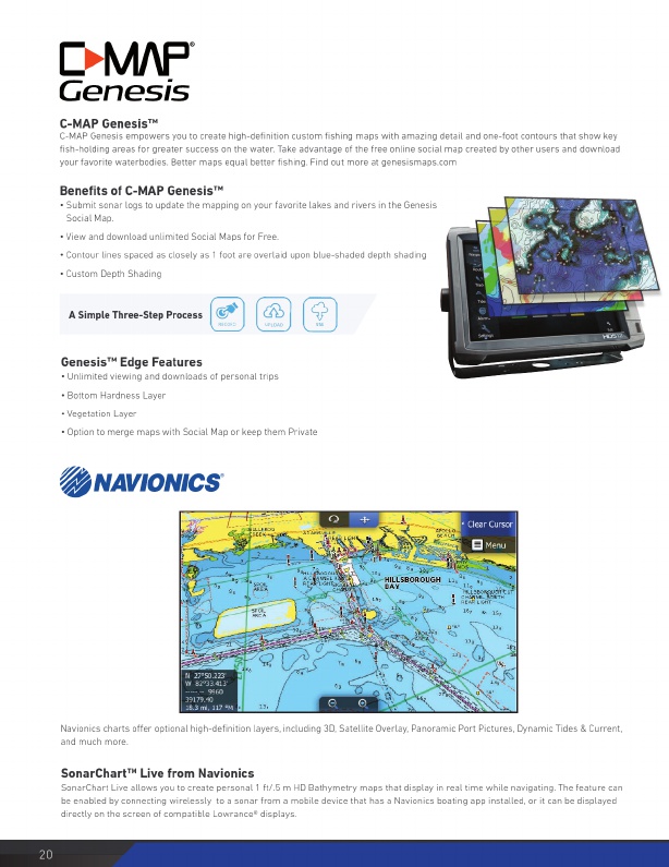
Navionics charts offer optional high-definition layers, including 3D, Satellite Overlay, Panoramic Port Pictures, Dynamic Tides & Current, and much more.
SonarChart ™ Live from Navionics
SonarChart Live allows you to create personal 1 ft/.5 m HD Bathymetry maps that display in real time while navigating. The feature can be enabled by connecting wirelessly to a sonar from a mobile device that has a Navionics boating app installed, or it can be displayed directly on the screen of compatible Lowrance® displays.
20 www.lowrance.com