®
Winter 2019
W
e could start this off by saying “there’s an
app for that,” but it is a tired cliché. The
truth is, there are a handful of apps that bass fishermen are using to catch more fish, and if they
are not using them, they are missing out.
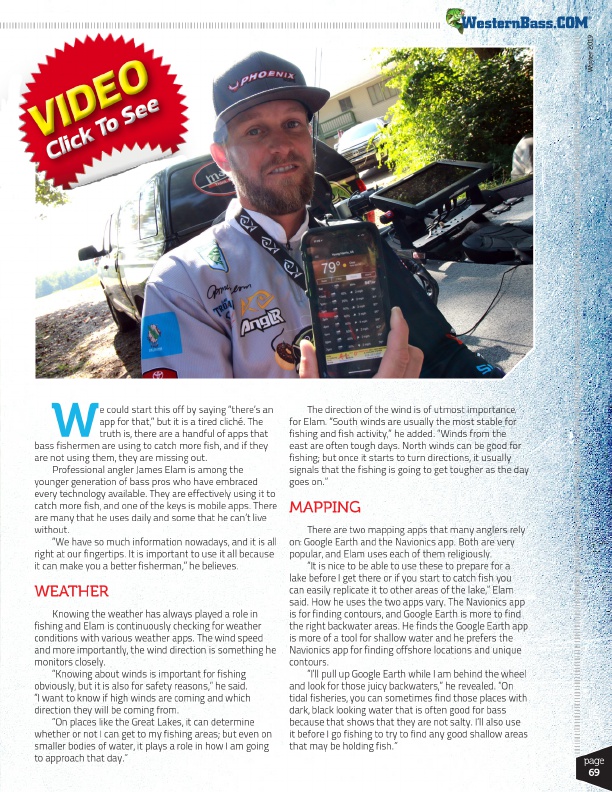
Professional angler James Elam is among the
younger generation of bass pros who have embraced
every technology available. They are effectively using it to
catch more fish, and one of the keys is mobile apps. There
are many that he uses daily and some that he can’t live
without.
“We have so much information nowadays, and it is all
right at our fingertips. It is important to use it all because
it can make you a better fisherman,” he believes.
WEATHER
Knowing the weather has always played a role in fishing and Elam is continuously checking for weather conditions with various weather apps. The wind speed and more importantly, the wind direction is something he monitors closely.
“Knowing about winds is important for fishing obviously, but it is also for safety reasons,” he said. “I want to know if high winds are coming and which direction they will be coming from.
“On places like the Great Lakes, it can determine whether or not I can get to my fishing areas; but even on smaller bodies of water, it plays a role in how I am going to approach that day.”
The direction of the wind is of utmost importance for Elam. “South winds are usually the most stable for fishing and fish activity,” he added. “Winds from the east are often tough days. North winds can be good for fishing; but once it starts to turn directions, it usually signals that the fishing is going to get tougher as the day goes on.”
MAPPING
There are two mapping apps that many anglers rely on: Google Earth and the Navionics app. Both are very popular, and Elam uses each of them religiously.
“It is nice to be able to use these to prepare for a lake before I get there or if you start to catch fish you can easily replicate it to other areas of the lake,” Elam said. How he uses the two apps vary. The Navionics app is for finding contours, and Google Earth is more to find the right backwater areas. He finds the Google Earth app is more of a tool for shallow water and he prefers the Navionics app for finding offshore locations and unique contours.
“I’ll pull up Google Earth while I am behind the wheel and look for those juicy backwaters,” he revealed. “On tidal fisheries, you can sometimes find those places with dark, black looking water that is often good for bass because that shows that they are not salty. I’ll also use it before I go fishing to try to find any good shallow areas that may be holding fish.”
page 69