®
Spring 2018
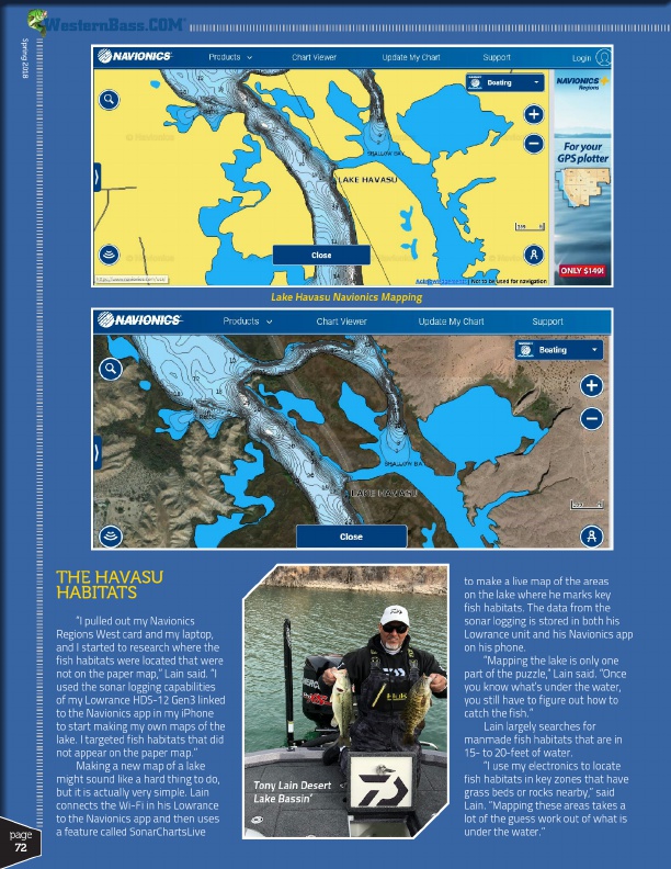
Lake Havasu Navionics Mapping
page
72
THE HAVASU HABITATS
“I pulled out my Navionics Regions West card and my laptop, and I started to research where the fish habitats were located that were not on the paper map,” Lain said. “I used the sonar logging capabilities of my Lowrance HDS-12 Gen3 linked to the Navionics app in my iPhone to start making my own maps of the lake. I targeted fish habitats that did not appear on the paper map.”
Making a new map of a lake might sound like a hard thing to do, but it is actually very simple. Lain connects the Wi-Fi in his Lowrance to the Navionics app and then uses a feature called SonarChartsLive
Tony Lain Desert Lake Bassin’
to make a live map of the areas on the lake where he marks key fish habitats. The data from the sonar logging is stored in both his Lowrance unit and his Navionics app on his phone.
“Mapping the lake is only one part of the puzzle,” Lain said. “Once you know what’s under the water, you still have to figure out how to catch the fish.”
Lain largely searches for manmade fish habitats that are in 15- to 20-feet of water.
“I use my electronics to locate fish habitats in key zones that have grass beds or rocks nearby,” said Lain. “Mapping these areas takes a lot of the guess work out of what is under the water.”