New
FISH SMARTER!
Identify points, humps, drop-offs, creeks and road beds, then head straight to ideal fishing spots!
o Lake & Marine Charts o SonarChart™ 1 ft HD contours o 18,000+ lakes and growing o Daily updates
Only $149 USD
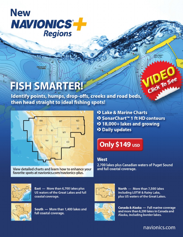
View detailed charts and learn how to enhance your favorite spots at navionics.com/navionics-plus.
West
2,700 lakes plus Canadian waters of Puget Sound and full coastal coverage.
East — More than 6,700 lakes plus US waters of the Great Lakes and full coastal coverage.
South — More than 1,400 lakes and full coastal coverage.
North — More than 7,500 lakes including LOTW & Rainy Lake, plus US waters of the Great Lakes.
Canada & Alaska — Full marine coverage and more than 6,200 lakes in Canada and Alaska, including border lakes.
navionics.com
http://navionics-store.com/collections/charts/products/navionics-regions-west?utm_source=Marketing&utm_medium=Western_Bass_Mag_Ad_2016Fall&utm_campaign=Navionics_Regions_West