Fall 2022
O
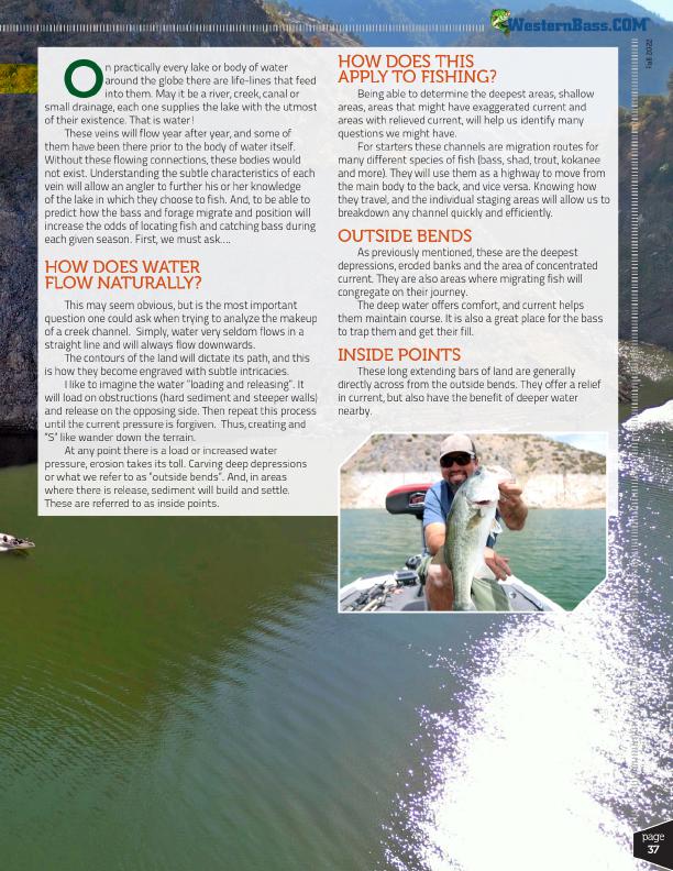
n practically every lake or body of water
around the globe there are life-lines that feed
into them. May it be a river, creek, canal or small drainage, each one supplies the lake with the utmost
of their existence. That is water!
These veins will flow year after year, and some of
them have been there prior to the body of water itself.
Without these flowing connections, these bodies would
not exist. Understanding the subtle characteristics of each
vein will allow an angler to further his or her knowledge
of the lake in which they choose to fish. And, to be able to
predict how the bass and forage migrate and position will
increase the odds of locating fish and catching bass during
each given season. First, we must ask….
HOW DOES WATER FLOW NATURALLY?
This may seem obvious, but is the most important question one could ask when trying to analyze the makeup of a creek channel. Simply, water very seldom flows in a straight line and will always flow downwards.
The contours of the land will dictate its path, and this is how they become engraved with subtle intricacies.
I like to imagine the water “loading and releasing”. It will load on obstructions (hard sediment and steeper walls) and release on the opposing side. Then repeat this process until the current pressure is forgiven. Thus, creating and “S” like wander down the terrain.
At any point there is a load or increased water pressure, erosion takes its toll. Carving deep depressions or what we refer to as “outside bends”. And, in areas where there is release, sediment will build and settle. These are referred to as inside points.
HOW DOES THIS APPLY TO FISHING?
Being able to determine the deepest areas, shallow areas, areas that might have exaggerated current and areas with relieved current, will help us identify many questions we might have.
For starters these channels are migration routes for many different species of fish (bass, shad, trout, kokanee and more). They will use them as a highway to move from the main body to the back, and vice versa. Knowing how they travel, and the individual staging areas will allow us to breakdown any channel quickly and efficiently.
OUTSIDE BENDS
As previously mentioned, these are the deepest depressions, eroded banks and the area of concentrated current. They are also areas where migrating fish will congregate on their journey.
The deep water offers comfort, and current helps them maintain course. It is also a great place for the bass to trap them and get their fill.
INSIDE POINTS
These long extending bars of land are generally directly across from the outside bends. They offer a relief in current, but also have the benefit of deeper water nearby.
®
page
37