issue with the file and will continue to update. After the upload, you will receive two emails from Navionics support. One will say they have received your files and are processing them as well as how many were accepted as well as the specific reason that certain files were rejected. The next email around a week later will state that the updates are now live. The email will also have an attached Google Earth file showing where each trail was recorded, making it very easy to view your before and after results.
LONG LAKE SONAR EVENT
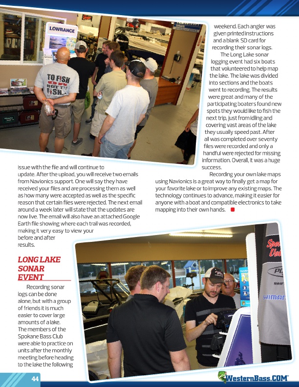
Recording sonar logs can be done alone, but with a group of friends it is much easier to cover large amounts of a lake. The members of the Spokane Bass Club were able to practice on units after the monthly meeting before heading to the lake the following
44
weekend. Each angler was
given printed instructions
and a blank SD card for
recording their sonar logs.
The Long Lake sonar
logging event had six boats
that volunteered to help map
the lake. The lake was divided
into sections and the boats
went to recording. The results
were great and many of the
participating boaters found new
spots they would like to fish the
next trip, just from idling and
covering vast areas of the lake
they usually speed past. After
all was completed over seventy
files were recorded and only a
handful were rejected for missing
information. Overall, it was a huge
success.
Recording your own lake maps using Navionics is a great way to finally get a map for your favorite lake or to improve any existing maps. The technology continues to advance, making it easier for anyone with a boat and compatible electronics to take mapping into their own hands.
®