L M AA K P E
Story & photos
BY TYLER BRINKS
how to make your own
L
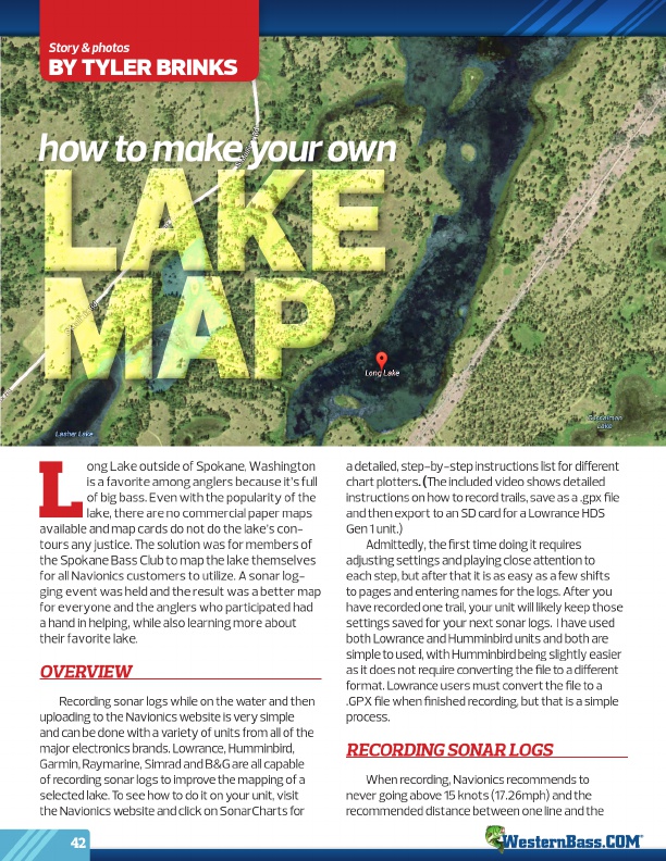
ong Lake outside of Spokane, Washington
is a favorite among anglers because it’s full
of big bass. Even with the popularity of the
lake, there are no commercial paper maps available and map cards do not do the lake’s con-
tours any justice. The solution was for members of
the Spokane Bass Club to map the lake themselves
for all Navionics customers to utilize. A sonar log-
ging event was held and the result was a better map
for everyone and the anglers who participated had
a hand in helping, while also learning more about
their favorite lake.
OVERVIEW
Recording sonar logs while on the water and then uploading to the Navionics website is very simple and can be done with a variety of units from all of the major electronics brands. Lowrance, Humminbird, Garmin, Raymarine, Simrad and B&G are all capable of recording sonar logs to improve the mapping of a selected lake. To see how to do it on your unit, visit the Navionics website and click on SonarCharts for
42
a detailed, step-by-step instructions list for different chart plotters . ( The included video shows detailed instructions on how to record trails, save as a .gpx file and then export to an SD card for a Lowrance HDS Gen 1 unit.)
Admittedly, the first time doing it requires adjusting settings and playing close attention to each step, but after that it is as easy as a few shifts to pages and entering names for the logs. After you have recorded one trail, your unit will likely keep those settings saved for your next sonar logs. I have used both Lowrance and Humminbird units and both are simple to used, with Humminbird being slightly easier as it does not require converting the file to a different format. Lowrance users must convert the file to a .GPX file when finished recording, but that is a simple process.
RECORDING SONAR LOGS
When recording, Navionics recommends to never going above 15 knots (17.26mph) and the recommended distance between one line and the
®