MAPPING
Lowrance supports a large variety of third-party mapping products, including key partners C-MAP and Navionics®.
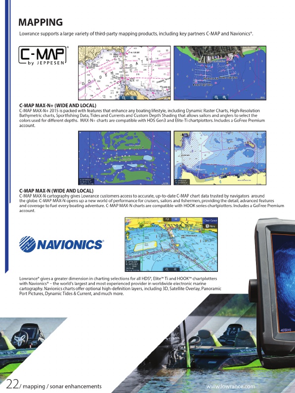
C-MAP MAX-N+ (WIDE AND LOCAL)
C-MAP MAX-N+ 2015 is packed with features that enhance any boating lifestyle, including Dynamic Raster Charts, High-Resolution Bathymetric charts, Sportfishing Data, Tides and Currents and Custom Depth Shading that allows sailors and anglers to select the colors used for different depths. MAX-N+ charts are compatible with HDS Gen3 and Elite-Ti chartplotters. Includes a GoFree Premium account.
C-MAP MAX-N (WIDE AND LOCAL)
C-MAP MAX-N cartography gives Lowrance customers access to accurate, up-to-date C-MAP chart data trusted by navigators around the globe. C-MAP MAX-N opens up a new world of performance for cruisers, sailors and fishermen, providing the detail, advanced features and coverage to fuel every boating adventure. C-MAP MAX-N charts are compatible with HOOK series chartplotters. Includes a GoFree Premium account.
Lowrance® gives a greater dimension in charting selections for all HDS®, Elite™ Ti and HOOK™ chartplotters with Navionics® – the world’s largest and most experienced provider in worldwide electronic marine cartography. Navionics charts offer optional high-definition layers, including 3D, Satellite Overlay, Panoramic Port Pictures, Dynamic Tides & Current, and much more.
22
/ mapping / sonar enhancements
www.lowrance.com